


Add
Hiking route: Lautenbach-Zell, Hohrupf, Buhl, Lautenbach-Zell
Lautenbach zell
Description
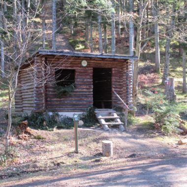
This relatively long hike does not present any particular difficulties. You will pass through the districts of Lautenbach-Zell and Buhl, and alternate between forests and prairies.
Duration: 5h
Length: 17.5 km
Accumulated altitude: 395 m
Hiking sheet and topographic guide are available from the Guebwiller and Soultz Tourist Offices.
More information
Altitude (m) : 350
Level of difficulty
Intermediate
Length of visit/event
All day

